...
(LANDS network and Qld. Government agencies using TellMeOnceTell Us Once/SSO)
To start using restricted image and elevation services straight away (without registering) in ArcGIS Pro, QPortal or Spatial Portal via the browser:
Navigate to the Spatial Portal website (spatial.information.qld.gov.au/arcgis/home/index.html)
Click “Sign In” and select “Single Sign-On (myGovIDmyID, QGov login, Qld. Government agencies, etc.)”
Choose the “Microsoft 365” option which supports single sign-on (SSO) for Queensland Government agencies using Tell Us Once (TUO). No further steps are required, as SSO accounts are automatically configured with access to restricted services.
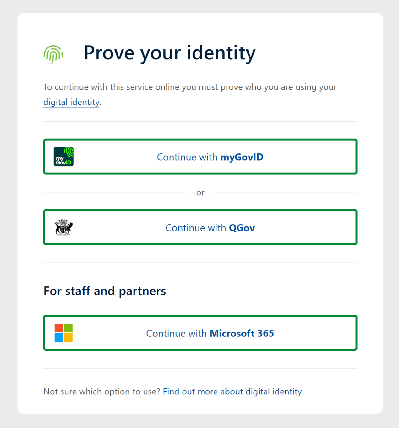

Select Continue with Microsoft 365

External individual users
Regardless of being an ESRI or non-ESRI user, a personalQGov account or a built-in named user accountis needed for external individual users (non-LANDS network). Once your account is created, you will also need to be added as a member of your organisation’s security Group in the Spatial Portal environment. (In some cases you maybe asked to set up a built-in named user account depending on your requirements).
Account Registration
To Register for yourself, please follow the steps below:
Navigate to the Spatial Portal website (spatial.information.qld.gov.au/arcgis/home/index.html)
Click “Sign In” and select “Single Sign-On (myGovIDmyID, QGov login, Qld. Government agencies, etc.)”
Choose a registration option:

The “Microsoft 365” option supports single sign-on (SSO) for Queensland Government agencies using Tell Us Once (TUO). No further steps are required, as SSO accounts are automatically configured with access to restricted services.
The “QGov” option is best for all other users, including councils and government-owned corporations.If registering for
For a “QGov” login, use your organisation's email address (e.g. joe.bloggs@logan.qld.gov.au) and a password of your choosing. Follow any other steps to register your account.
Set up your profile
Click on your user profile (top-right corner) and then click on the link for “My
profile”.
Add Bio: click on the edit icon to add your first and last
names and “Save”. This identifies you to us.
Take note of your GUID number (e.g.
1a2b3c4d_5e6f_7g8h_9i0j_1k2l3m4n5o6p).
With these details, raise Raise a support request in the Queensland Spatial Help Centre, including , providing your GUID, first name, last name, email address, and organisation. Using these details, your account will be added We will let you know when you have access to the relevant Spatial Portal security group for your organisation.
...
Another requirement is to ascertain whether your organisation’s systems administrator needs a login to access Restricted services via ESRI (i.e. Portal for ArcGIS) or Non_ESRI custom-build systems and web applications (i.e. Geocortex). In this case your organisation needs a built-in system or proxy user account. Please refer to the SISP enquiry form on the left hand side panel for access and further assistance setting this upRequest your account on the Access Imagery and Elevation Services form.
Windows Server Application Proxy Setup
To authenticate an application, such as Geocortex, using a Spatial Portal built-in proxy user account via the proxy on a Windows Server please note that the ESRI resource-proxy is no longer recommended, since it is no longer being maintained. Instead configure your security settings in your ArcGIS Entreprise Enterprise Portal. Leverage the Portal proxy capabilities by configuring specific secured rest endpoints in Portal and storing the user credentials. Unfortunately you cannot leverage the Basemap tile_cached services to request the data in a Projected GDA Zones as the tile_cached services are in web Mercator. Geocortex automatically detects the tile_cached services as a “ArcGISTiledMapService” rather than a “ArcGISDynamicMapService” which cannot be overridden. Therefore create the portal proxy items for the dynamic image and elevation services only in order to consume them in Geocortex.
...